Per MD 1212
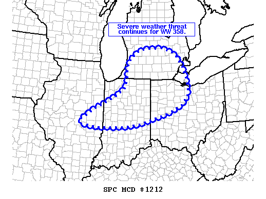
A severe system responsible for several severe thunderstorm warnings (mostly due to long swaths of damaging winds) in eastern IL and across northern IN is weakening, but continues moving across the upper midwest at 35-45mph. The current severe thunderstorm watch (WW358), in effect until midnight for northern IN and SW/south central MI, may be extended to include SE MI depending on how the storm develops or weakens over the next half hour or so. The system appears to be weakening now, and will continue as temperatures cool; it’s a question of how quickly the system weakens.
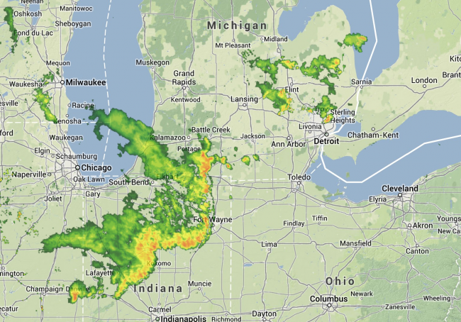
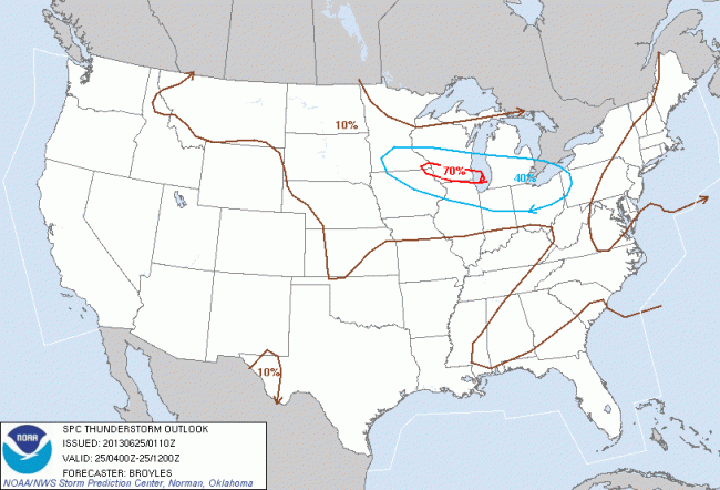
Additionally, a new thunderstorm outlook issued at 9:10pm EDT, effective through 8am Tuesday, places us squarely in the 40% probability area for thunderstorms.
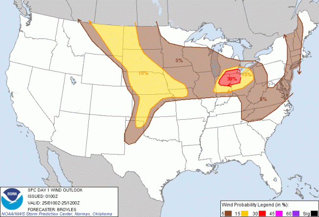
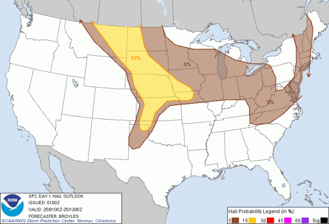
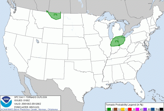
The 9pm convective outlook, valid until 8am Tuesday, places us in the “Slight” risk area for severe weather:
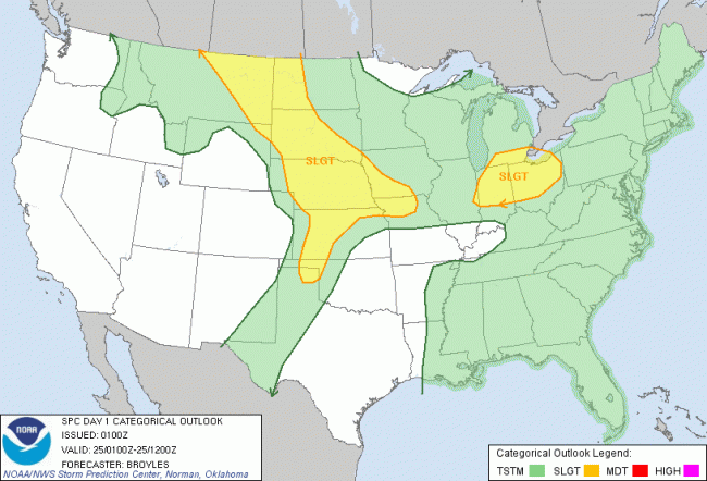
The primary threat from these storms will be damaging wind. We have a 15-30% chance of damaging wind through 8am Tuesday, along with a 5% risk of hail, and a very small tornado risk.
