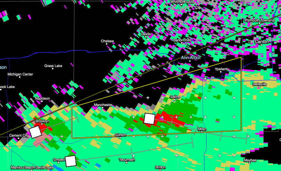
In these images, the bright yellow area (southern half of Washtenaw County) is the warned area.

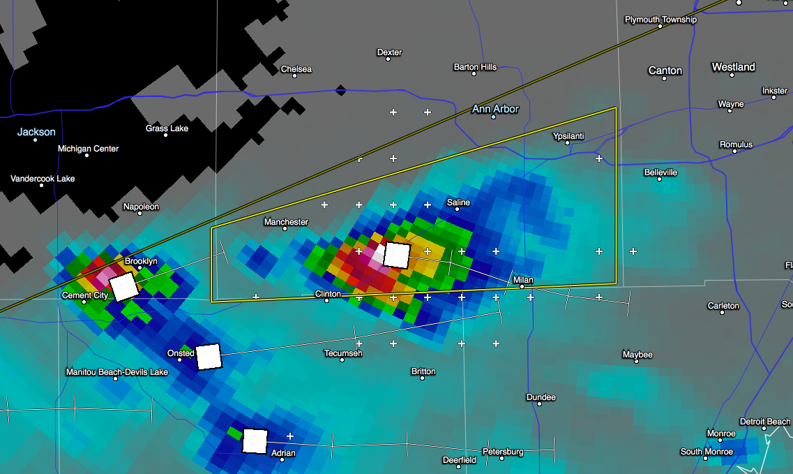
There is a lot (around 73 kg/m^2) of water in the center of this storm; expect heavy rain along the path of the cell:
This storm is pretty big; echo tops at 50-55 thousand feet:
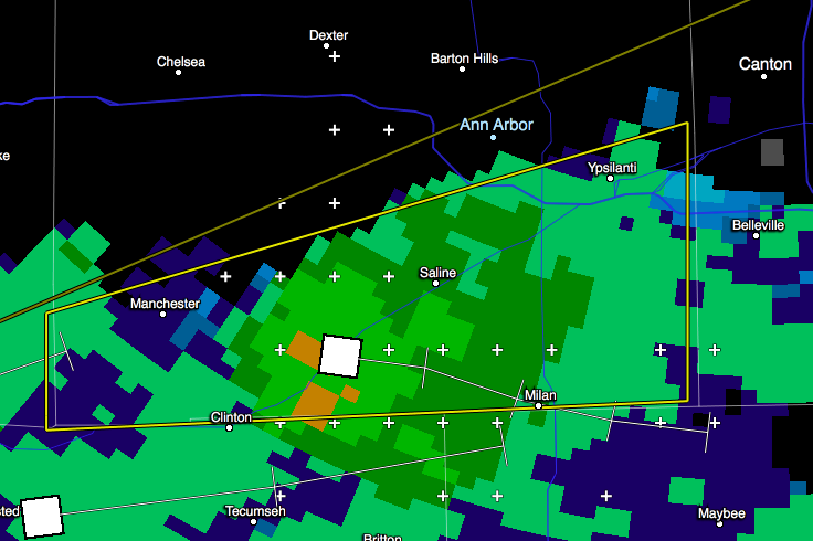
In the center of the storm, expect hail and heavy rain: